Geomatics Engineering
Geomatics Engineering
Welcome to the Geomatics Engineering program at Fresno State
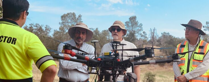
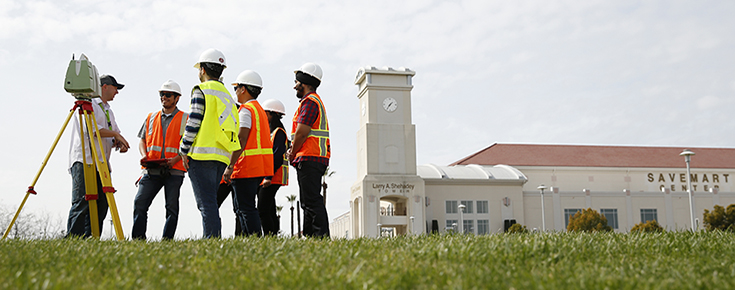
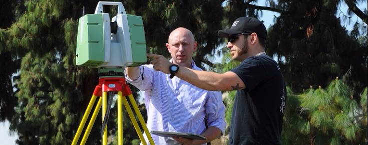
Geomatics Engineering is the management of global infrastructure through the collection, measuring, monitoring and archiving of geospatial data. Geomatics engineers contribute to the welfare and safety of the public through administering appropriate research and advanced mapping techniques. The Geomatics Engineering program in the Lyles College of Engineering at Fresno State is the first, four-year nationally-accredited comprehensive program in the nation and is the only one of its kind in California.
Common Geomatics Engineering occupations include:
- Boundary Mapping
- Land Surveying
- Urban planning
- Space exploration
- Agriculture
- Transportation
- Navigation and location-based services
- Geomarketing
- Emergency mapping
- Oceanography
Graduates of the Geomatics Engineering (GME) program should demonstrate competency in one or more of the following GME competency areas:
- Boundary/land surveying, photogrammetry, geodesy, GIS, and digital mapping.
- A continued capacity for employment in one or more GME specialty area.
- A capacity for graduate education.
- Continued membership in professional organizations.
- A continuing commitment to lifelong learning.
- A continuing commitment to serving and protecting the health and welfare of the public.
- An ability to pass professional licensing or certification examinations after achieving requisite professional experience.