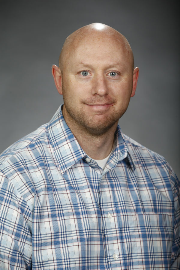
Geomatics Engineering
 Scott Peterson
Associate Professor
Ph.D., PLS (UT), CFeds
Email: scpeterson@csufresno.edu
Office: Engineering East, Room 292
Phone: 559.278.1602
Mailing Address: 2320 E. San Ramon Ave., MS/EE 94
Fresno, CA 93740-8030
More Information about Professor Peterson:
- GME 1 – Introduction to Geomatics Engineering
- GME 15 – Engineering Surveying
- GME 15L – Engineering Surveying Laboratory
- GME 16 – Municipal Surveying
- GME 16L – Municipal Surveying Laboratory
- GME 126 – Digital Mapping
- GME 151 – Boundary Control and Legal Principles
- Ph.D. – Civil Engineering – Purdue University (2018)
- Master of Science in Geomatics Engineering – Purdue University (May 2013)
- Certified Federal Surveyor – (February 2012)
- Associates in Applied Science, with a Major in Surveying – Salt Lake Community College (May 2007)
- B.S. in Biology - Brigham Young University (December 2005)
- Estus H. and Vashti L. Magoon Award for Excellence in Teaching, College of Engineering, Purdue University, April 2013.
- Lambda Sigma-Purdue Univesity
- Member California Land Surveying Association (CLSA) 1/2015 – Present
- Education Committee Chair San Joaquin Valley Chapter (CLSA) 1/2015 - Present
- Member Geomatics Advisory Council 8/2014 – Present
- History Committee Chairman for Utah Council of Land Surveyors 1/2010 – 8/2011
- Timpanogos Chapter Vice President UCLS 2/2010 – 2/2011
- State Executive Board Member UCLS 2/2009 – 2/2010
- Legislative Committee Liaison UCLS 2/2009 – 2/2010
- Timpanogos Chapter President UCLS 2/2009 – 2/2010
- Legislative Committee UCLS 2/2008 – 8/2011
- Member UCLS 2003-8/2011
- “Automatic Sphere Target Detection in Terrestrial Mobile Mapping System” – co-author, submitted in 2015 and to be published in ASPRS Journal (American Society of Photogrammetry and Remote Sensing Journal)
- “Laser Mobile Mapping Standards and Applications in Transportation” – co-author, Submitted November 15, 2015 to JTRP (Joint Transportation and Research Board) associated with INDOT (Indiana Department of Transportation). To be published as a Chapter of the INDOT Standards manual for the use of Mobile LiDAR.
- “Vertical Network Creation with a Robotic Total Station” – co-author, finalized in September 2016 to be presented and published as part of APLU Research Grant Project with Geomatics Engineering Student
Presentations:
- Parol Evidence, 2016 California Land Surveyors Association (CLSA) – Rohnert Park, CA, March 2016
- Coordinates, Moving Forward, 2016 Annual Geomatics Conference – Fresno, CA, January 2015
- LiDAR (Light Detection and Ranging)
- Mobile LiDAR
- Flash LiDAR
- Boundary Evidence
- Plane Surveying
- Autistic Therapy

Faculty Advisor:
- SAGE (Student Association of Geomatics Engineers)
- NSPS (National Society of Professional Surveyors)
- CLSA (California Land Surveyors Association)
Fall 2016 Office Hours:
Thursdays: 12-2 pm
Fridays: 8-10 am